
 Monday, 05 February 2018 07:42
 1,112
1,112This is an installable GPS map for the Drakensberg. This map is intended for use on a Garmin GPS and can be installed via a Windows based machine running Basecamp. Instructions for installing and use are provided within the download.
Monday, 05 February 2018 13:30 198 Wednesday, 05 September 2018 20:57 311
This is an installable GPS map for the Drakensberg. This map is intended for use on a Garmin GPS and is suitable for a MAC. Instructions for installing and use are provided within the download.
Wednesday, 05 September 2018 21:00 594This is an installable GPS map for the Drakensberg. This map is intended for use on an Android device running the OSMAnd App. (Limited) Instructions for installing and use are provided within the download.
Tuesday, 20 November 2018 08:40 596GPS data for the complete Mnweni Pass - Rockeries Pass loop, starting from the Mnweni Cultural & Hiking Center.
The track included does not take into account all the variations of trails in the valleys but does represent a reasonably optimal route which may differ among hikers. Please see this download for more detail on trail variations in the Mnweni Valley.
Friday, 22 February 2019 21:12 183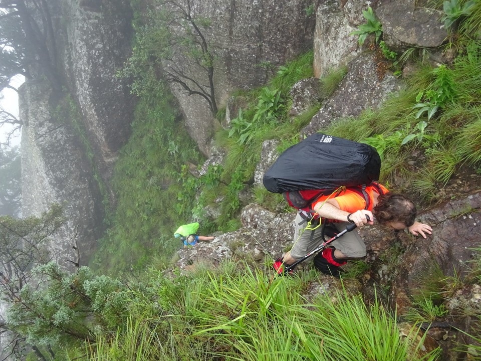
The route from Injisuthi Camp to Centenary Hut via Boundary Ridge. It is exposed in places and includes some wooden ladders - so not for the faint of heart.
- You are here:
-
Home

-
Downloads
-
Drakensberg
- Drakensberg Hiking