
- Forum
- Drakensberg Forum
- Drakensberg Hiking
- AmaNgwane (Mnweni & other areas)
- Outer Mnweni Needle traverse
Outer Mnweni Needle traverse
Please Log in or Create an account to join the conversation.

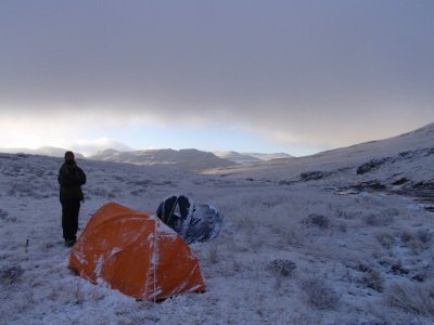
Feels like 'real exploration' when you go off the beaten track. Of course it is all relative, because while we think we explore and find, the people living there have already been there, as evidenced by the paths. Still great to do though, because they and us have totally different reasons for doing it and a different outcome.
So still explorers anyhow!

Please Log in or Create an account to join the conversation.
- Serious tribe
-

- Offline
- Platinum Member
-

- Posts: 1059
- Thank you received: 780
The difference was striking. In the 90's the road only went a little past the police station, and there where only a few kraals past that point.
Since there was no bridge over the Thonyelana river, i can remember hardly any kraals up the Mnweni valley past that point (maybe only Mlambu’s Kraal). With the development of the bridge and the road several kilometers up the Mnweni valley, development has certainly increased markedly on the left bank of the Mnweni river (must be 100s of households?). Many of these are no longer built in the traditional way (they are mostly concrete brick), and are, quite frankly, an eyesore.
I suppose its in the name of development & progress, but to me it seems a great shame that this has been allowed to happen as far up the valley as it has.
mnt_tiska wrote: Somewhat off topic now - but I would be intrigued to know how the livelihoods have changed in Mnweni since '94. Dope obviously led to major cash inflow but there are kraals now that don't look nearly as good as they did in the 1980s and some are even apparently abandoned. Urbanisation must be a major pull factor on the region.
Please Log in or Create an account to join the conversation.
firephish wrote: I don't know about the urbanization thing, i visited the Mnweni a number of times between 1987 & 1991, and then did not visit again until 2013.
The difference was striking. In the 90's the road only went a little past the police station, and there where only a few kraals past that point.
Since there was no bridge over the Thonyelana river, i can remember hardly any kraals up the Mnweni valley past that point (maybe only Mlambu’s Kraal). With the development of the bridge and the road several kilometers up the Mnweni valley, development has certainly increased markedly on the left bank of the Mnweni river (must be 100s of households?). Many of these are no longer built in the traditional way (they are mostly concrete brick), and are, quite frankly, an eyesore.
I suppose its in the name of development & progress, but to me it seems a great shame that this has been allowed to happen as far up the valley as it has.
mnt_tiska wrote: Somewhat off topic now - but I would be intrigued to know how the livelihoods have changed in Mnweni since '94. Dope obviously led to major cash inflow but there are kraals now that don't look nearly as good as they did in the 1980s and some are even apparently abandoned. Urbanisation must be a major pull factor on the region.
Fair point Firephish. But my take is that in addition, the remote homesteads have been neglected.....
Please Log in or Create an account to join the conversation.
Please Log in or Create an account to join the conversation.
I spoke to Khumbalani Mdaba about this path. He is a local who is intimately familiar with the area, being one of the Mnweni hiking guides as well as the secretary of the Mnweni Wilderness Working Team. He said those tracks have an all-purpose function to serve as a connection between the Mnweni and Tonyelana Valleys. Grazing would certainly be one of the uses.tonymarshall wrote: Difficult to answer the origins of these paths with certainty, but I think the clearer well used paths could be from cattle, and the less distinct less used paths from game. Any opinions on this?
I also spent quite a bit of time with him this weekend going over the names of the area as indicated on the hiking map. There are many corrections to be made, and I will post these to the forum in due course. The valley which splits off the Nqeda, heading towards the ridge coming off the Outer Needle is called the Kwatende. That name currently is incorrectly placed East of Kwamfazi (incorrectly spelled as "Kwafazi") on the maps.
Take nothing but litter, leave nothing but a cleaner Drakensberg.
Please Log in or Create an account to join the conversation.

