
Ship’s Prow Pass
We did the trip as you're planning it exactly over an Easter Weekend. Great trip with great views from the top, but man, was Ship's Prow a mission. Problem was we had lots of rain over the weekend, which meant the stream was flowing pretty strongly. So while the top section of the Pass was easy (we used the South fork at the top, which is very much the recommended route) we spent a LOT of time in the middle and bottom sections.
The pass relies on dried up streams mostly, and when these fill up with water you basically have three options: 1) Walk in the sometimes knee high water / 2) Boulder hop / 3) Hack through the extremly thick undergrowth. We did the best combination of these we could, but by the middle of the day the girls especially (who are fit, but not particularly strong) were struggeling, and the going became painfully slow.
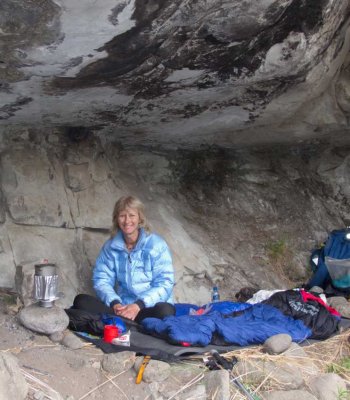
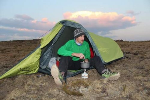
We too wanted to camp somewhere on the way to Cowl fork, but we only just made the campsite in Cowl Stream (M6 on the maps) at nightfall where we pitched our tents best we could in the dryest (but by no means flattest!) places we could find.
All in all, the trip ate about three cameras, a tent, and we never heard from the two 'new' people we took along again. So while we have some stories to tell, I'm not sure I'd recommend it.
If everyone in the group are comfortable boulder hopping taking big steps for the entire pass carrying their packs, and can do this at reasonable speed, you'll be fine. For myself I'd definitely use this pass again if I needed it, but I'd aim for just after winter when the undergrowth should be less dense and the river less full.
Good luck on your hike!
")
Please Log in or Create an account to join the conversation.
Please Log in or Create an account to join the conversation.

Take nothing but litter, leave nothing but a cleaner Drakensberg.
Please Log in or Create an account to join the conversation.

Yes, I was referring to the tracks for the pass, not just the summit.
If none exist then I will log it when we do the pass.
Please Log in or Create an account to join the conversation.
Please Log in or Create an account to join the conversation.

Please Log in or Create an account to join the conversation.
Apart from being very long, overgrown (lower down) and steep, are there any technical challenges on Ship's Prow Pass? Like scrambling that may require rope etc?
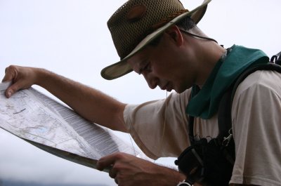
And does anyone have a GPS track for this pass that they may be willing to share?
Thinking of tackling this from Monk's Cowl side and linking it up with Gray's Pass, but having trouble deciding which to ascend and descend. My thinking right now is to leave the climbing for Gray's since it is (presumably??) easier, overnight in Nkosazana Cave, and then have a monster of a day descending Ship's Prow back to Monk's Cowl. Anyone have any thoughts/suggestions to the contrary?
First prize would be to get dropped off at Monk's Cowl and picked up at Injisuthi!
Please Log in or Create an account to join the conversation.
I think there more info floating around on the forum too, and GPS data comes up often, will upload gap-dependent.
Take nothing but litter, leave nothing but a cleaner Drakensberg.
Please Log in or Create an account to join the conversation.
You'll have quite lop-sided days, if you plan on climbing Champagne Castle maybe do that on day 1 and camp near the top of Ships Prow.Dillon wrote:
Thinking of tackling this from Monk's Cowl side and linking it up with Gray's Pass, but having trouble deciding which to ascend and descend. My thinking right now is to leave the climbing for Gray's since it is (presumably??) easier, overnight in Nkosazana Cave, and then have a monster of a day descending Ship's Prow back to Monk's Cowl. Anyone have any thoughts/suggestions to the contrary?
You are a lot fitter than me and we did Monks Cowl to top of Grays in under 8 hours last month. 4 hours to KBC, 1 hour lunch, 3 hours up Grays
Please Log in or Create an account to join the conversation.
- Smurfatefrog
-

- Offline
- Moderator
-

- Posts: 1134
- Thank you received: 1551
Please Log in or Create an account to join the conversation.
